Because of our daily work with different spatially fixed data, we have gained a lot of know-how as well as the needed tools, in order to show geodata appealing and meaningful.
But we are not only technically leading in the display of data, but we have also brought the storing of the data in our own, self-developed data bases to perfection.
If you own data that should be displayed spatial in an interactive, responsive website, but should not, on no account, end up in the hands of a third party, then you are right with us.
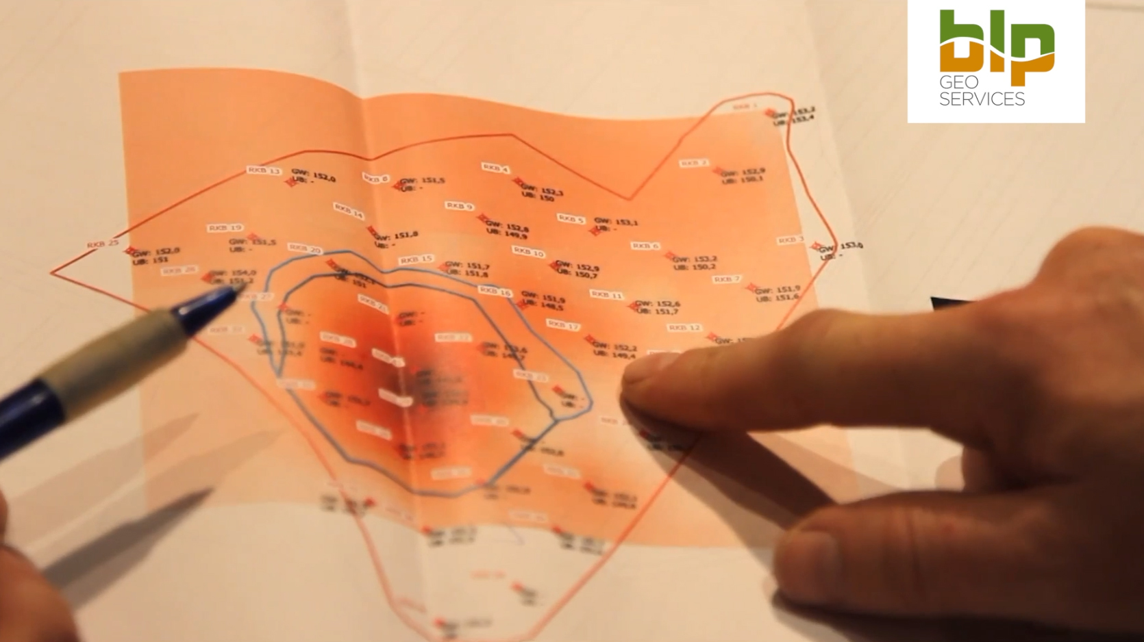
We offer you the possibility to newly generate geo-data (with the help of GPS-Surveying), to store data in POSTGIS data bases and to visualise geo-data with the help of the Geographical Information System.
Furthermore, we offer you a web application for an easily and user-friendly appliance of the just before named systems.
2°C Global Warming Atlas
Here you can see a video about the Global Warming Atlas the blp GeoServices Ltd. programmed. In 2016 we presented it in cooperation with the x-net at the FOSSGIS in Salzburg.
The IMPACT2C Web-Atlas visualises the potential impacts of a temperature rise of 2°C and presents the results to the public.


